Traveling to Big Bend National Park requires a quest to one of the most remote places in the mainland US: Southwest Texas. Located nearly 300 miles from the nearest major city (El Paso), the trip requires a drive through the vast and uninhabited world of the Chihuahuan desert, where the horizon seemingly extends to infinite and coyotes outnumber humans.
However the journey is worth it- for at the end of the road lies Big Bend, a place so stunning that FDR temporarily forgot about fighting a World War to sign it into law as a National Park in 1944.
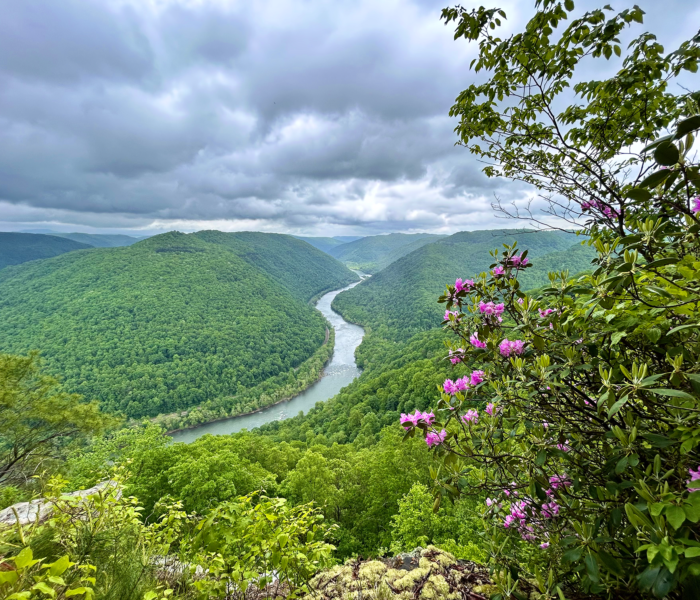
Linear desert roads cut through miles and miles of diverse terrain, from the vibrantly green Chisos Mountains to the massive canyons that form around the Rio Grande- the river that since 1848 has served as the “natural” 1000-mile boundary between the United States and Mexico.
Lightly visited and massive in size, Big Bend National Park is a rare opportunity to see the American Southwest in it’s most natural form: isolated, beautiful, and serenely quiet.
Here are my photos from my recent trip there:
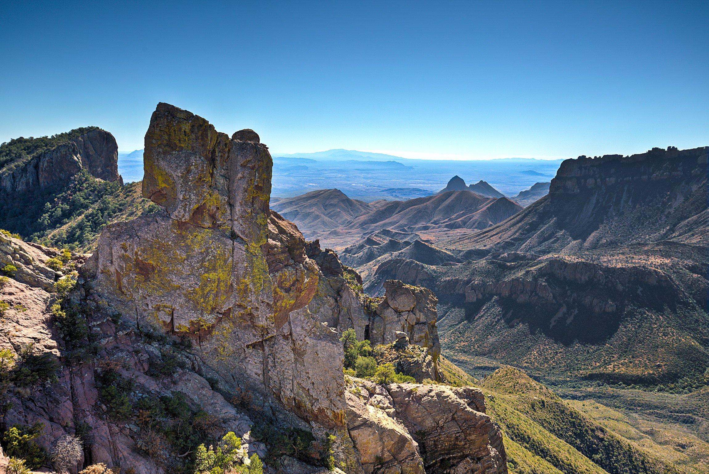
The Top of the “Lost Mine” Trail Overlooking the Chisos Mountains
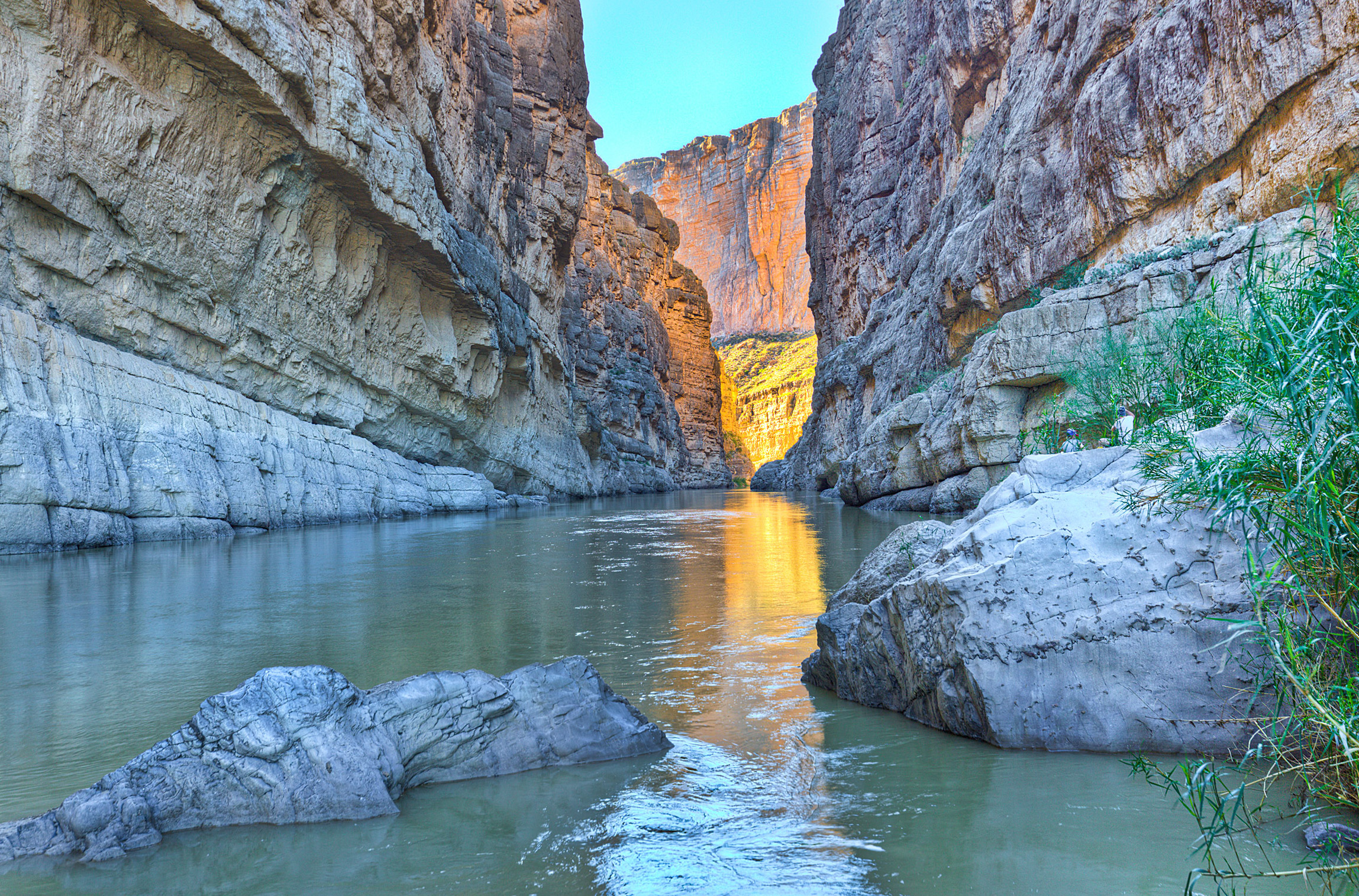
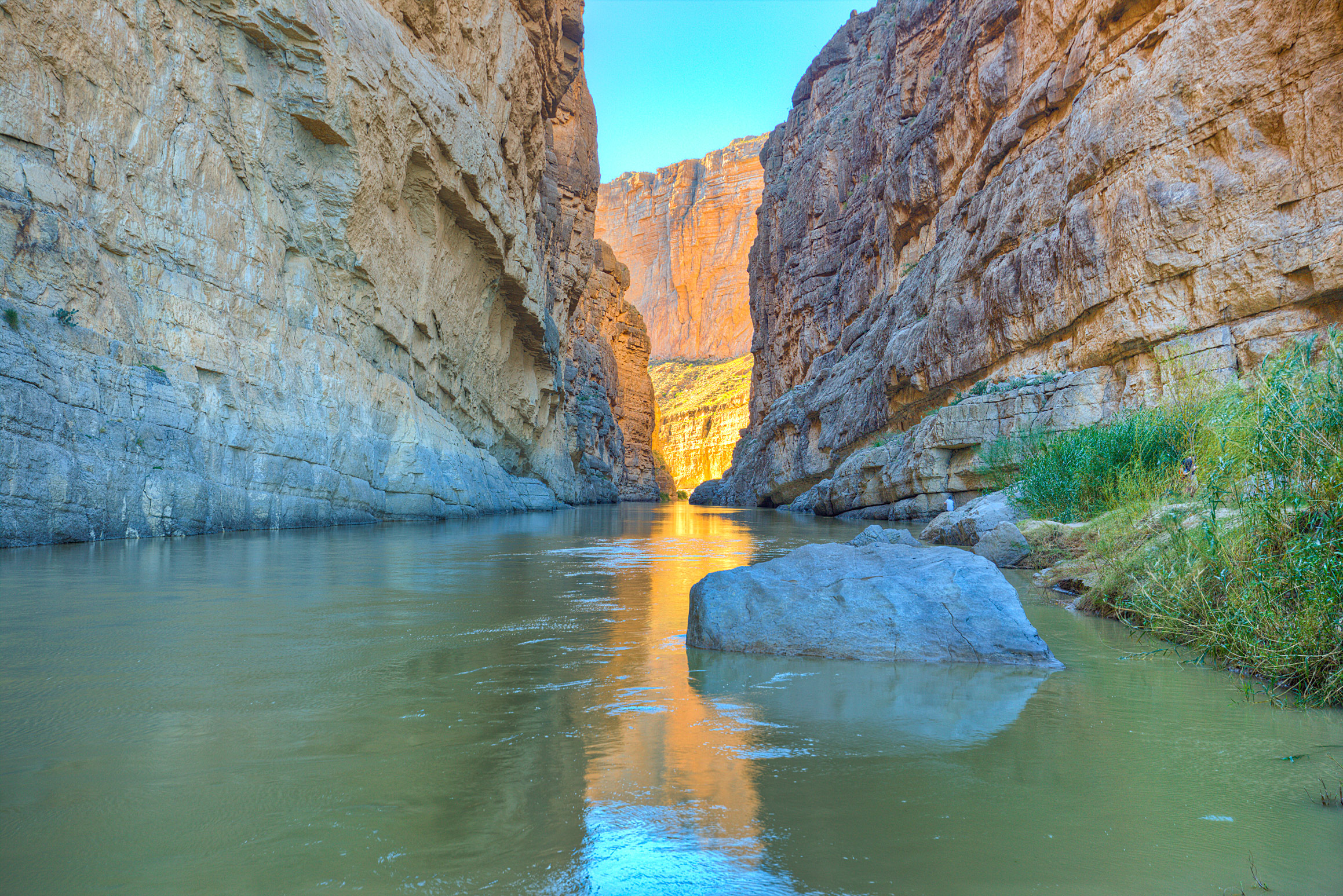
Santa Elena Canyon- on the left is Mexico, the right the United States.
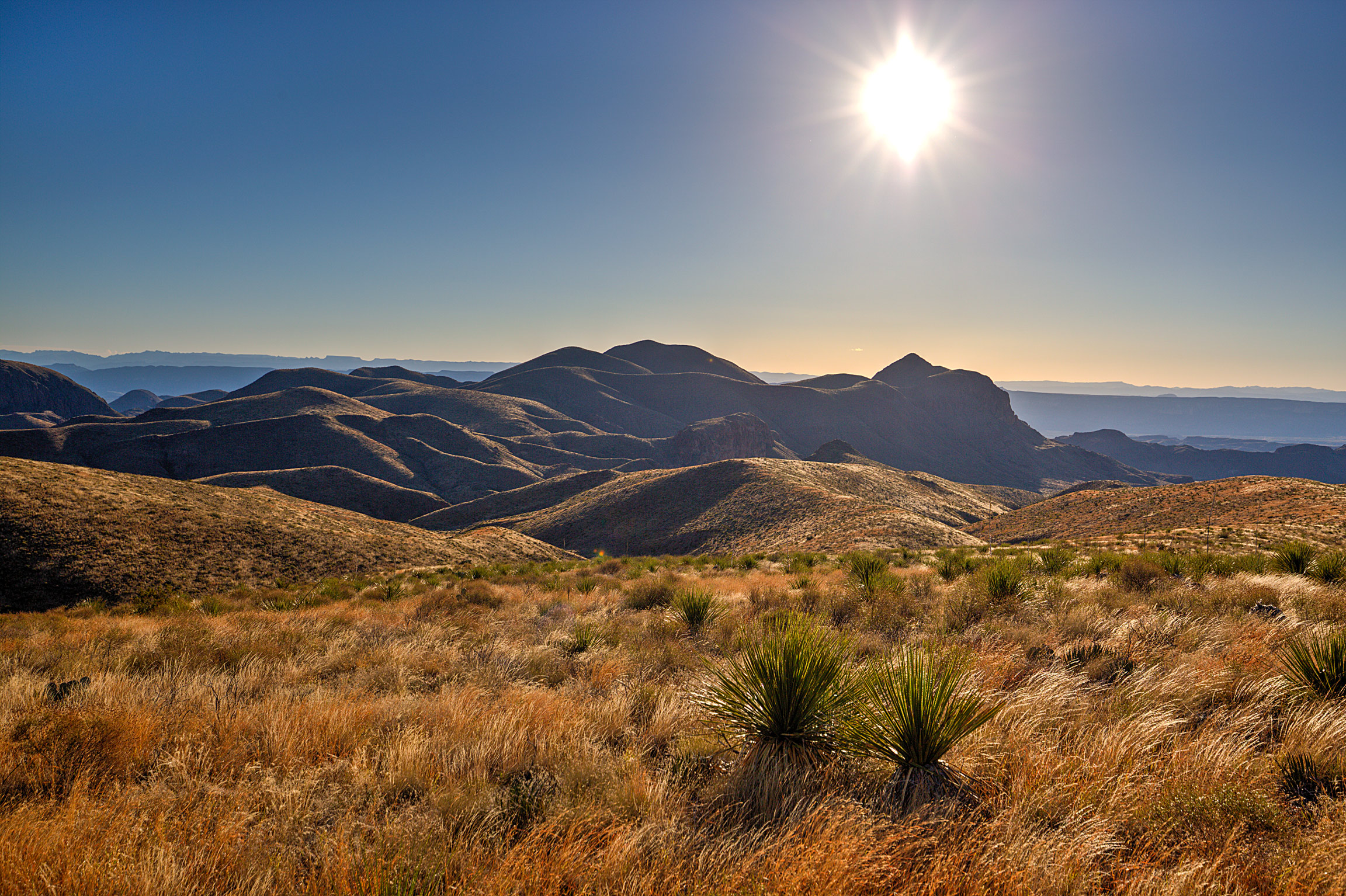
Rugged hills rolling into the setting sun
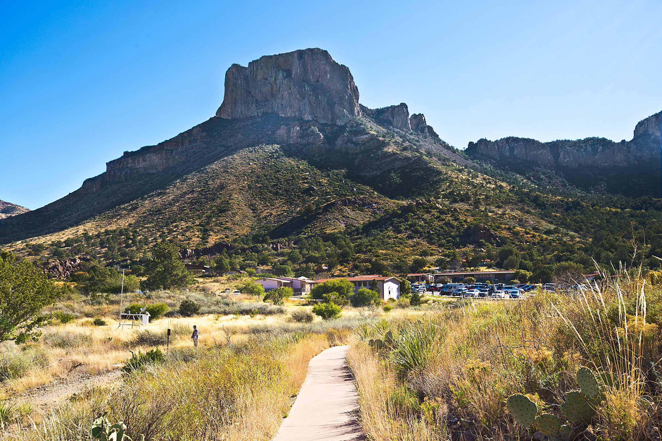
Views of the Chisos Mountains from the Park Visitor’s Center
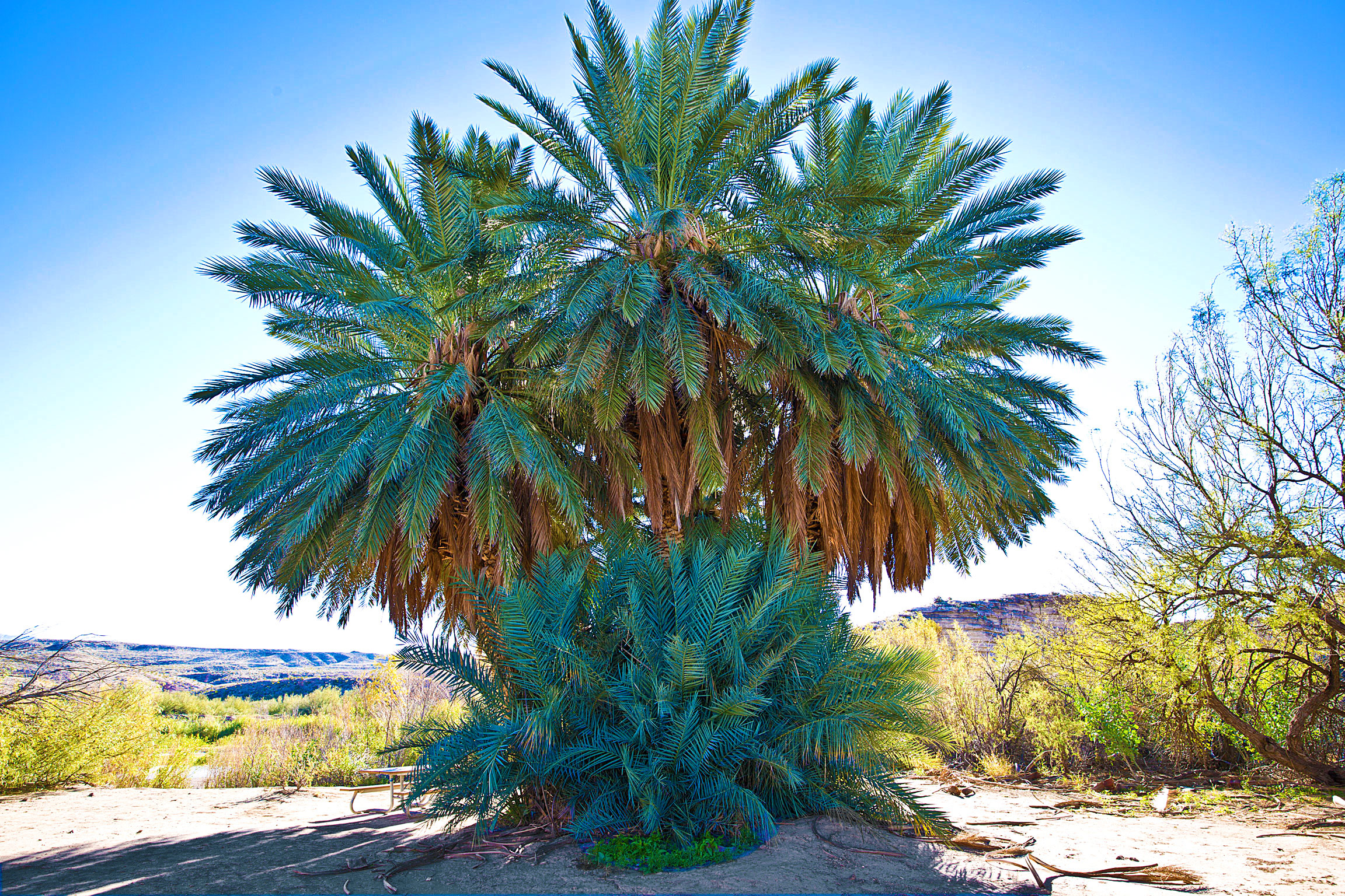
A massive a seemingly out of place Palm Tree in the middle of the desert!
Today’s cover image- one more of Santa Elena Canyon
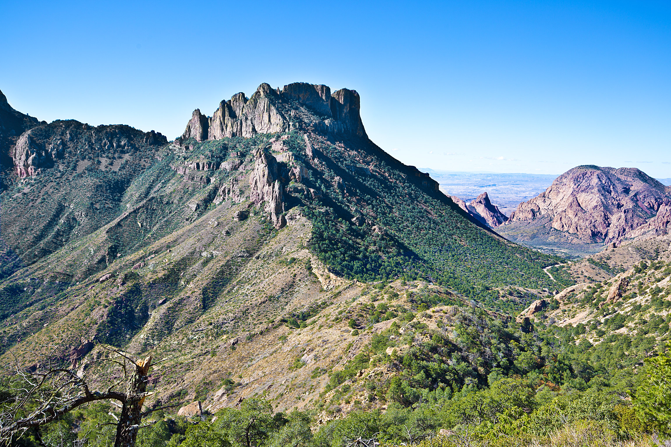
The Chisos Mountains
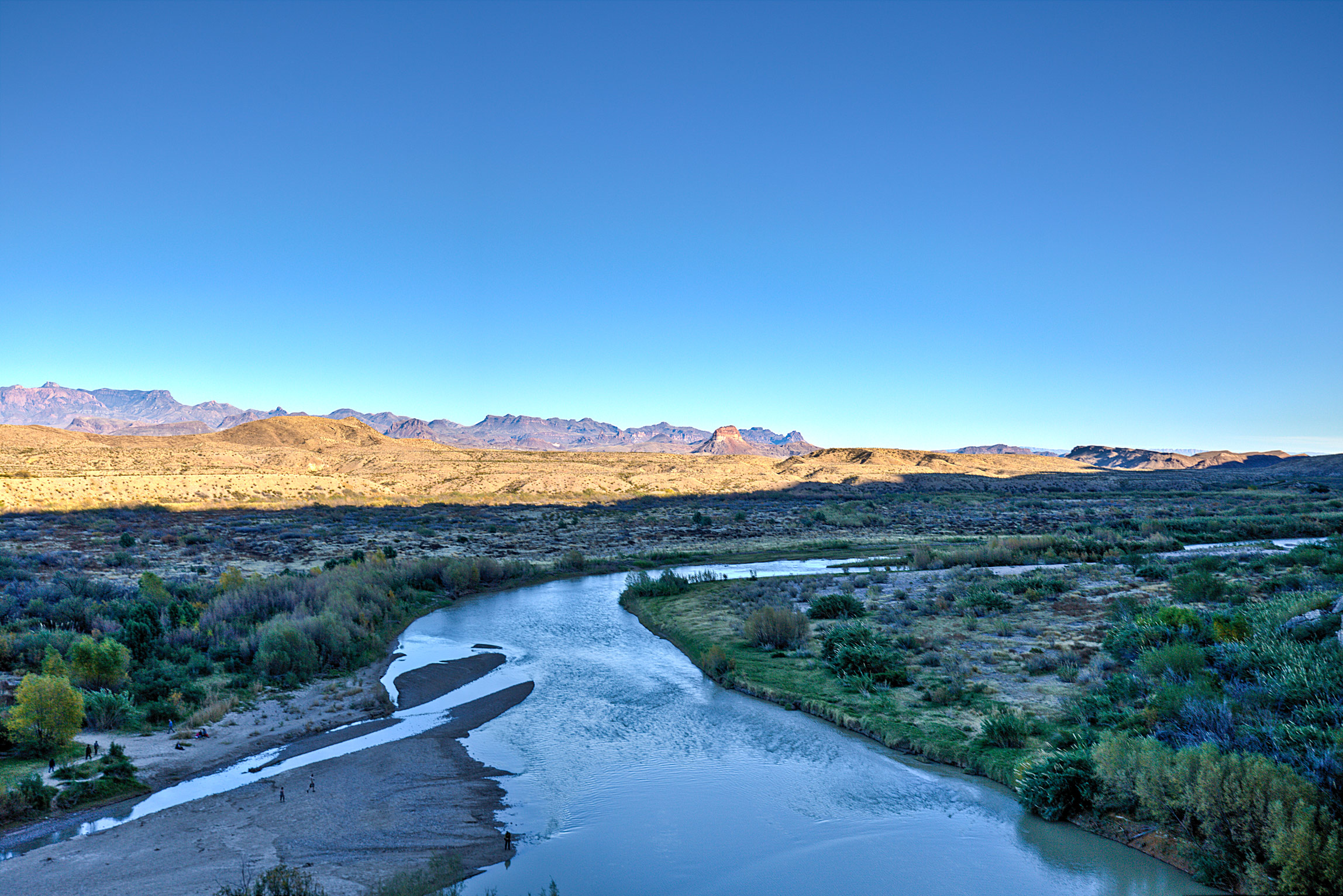
The Bend of the Rio Grande